The Plight of Oregon’s Black Bears

The only bears in Oregon are the smallest bears on the Continent – the black bear. They are normally black with a brown muzzle but they can be a variety of light to dark brown hues and even white. They run 5 to 6 feet in length and up to 30 inches at the shoulder. Females can be 125 to 200 pounds and males 200 to 250 pounds. They don’t mate until they are 3 to 4 years old.

Black bears are usually gentle and can be scared away quickly by loud noises and yelling.  And I do mean quickly. When they are spooked they take off like a rocket streak for the nearest forest shelter. They are not normally aggressive but the male bears can become so with each other during June and July mating season. Also a mother bear when she feels her cub needs protecting can be very aggressive. Do not come between a mama bear and her cub. There has never been a single documented human death caused by a black bear in Oregon. They just don’t want to be around us.

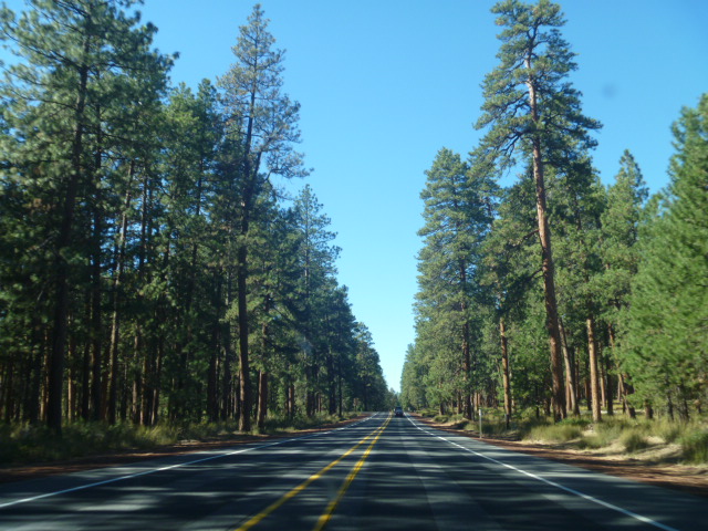
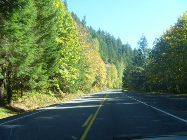
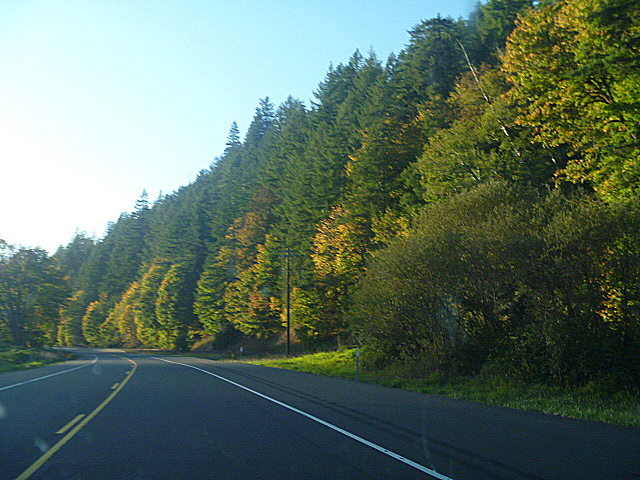
Black bears live in forested areas that are not inhabited by humans. They can occasionally be seen crossing highways between forests or to reach water. If you live near the forest you may see one on occasion just passing through. It is best to stay inside and enjoy the view until the bear has wandered back into the forest. That way the bear won’t be spooked and run in the wrong direction. They are just passing through.

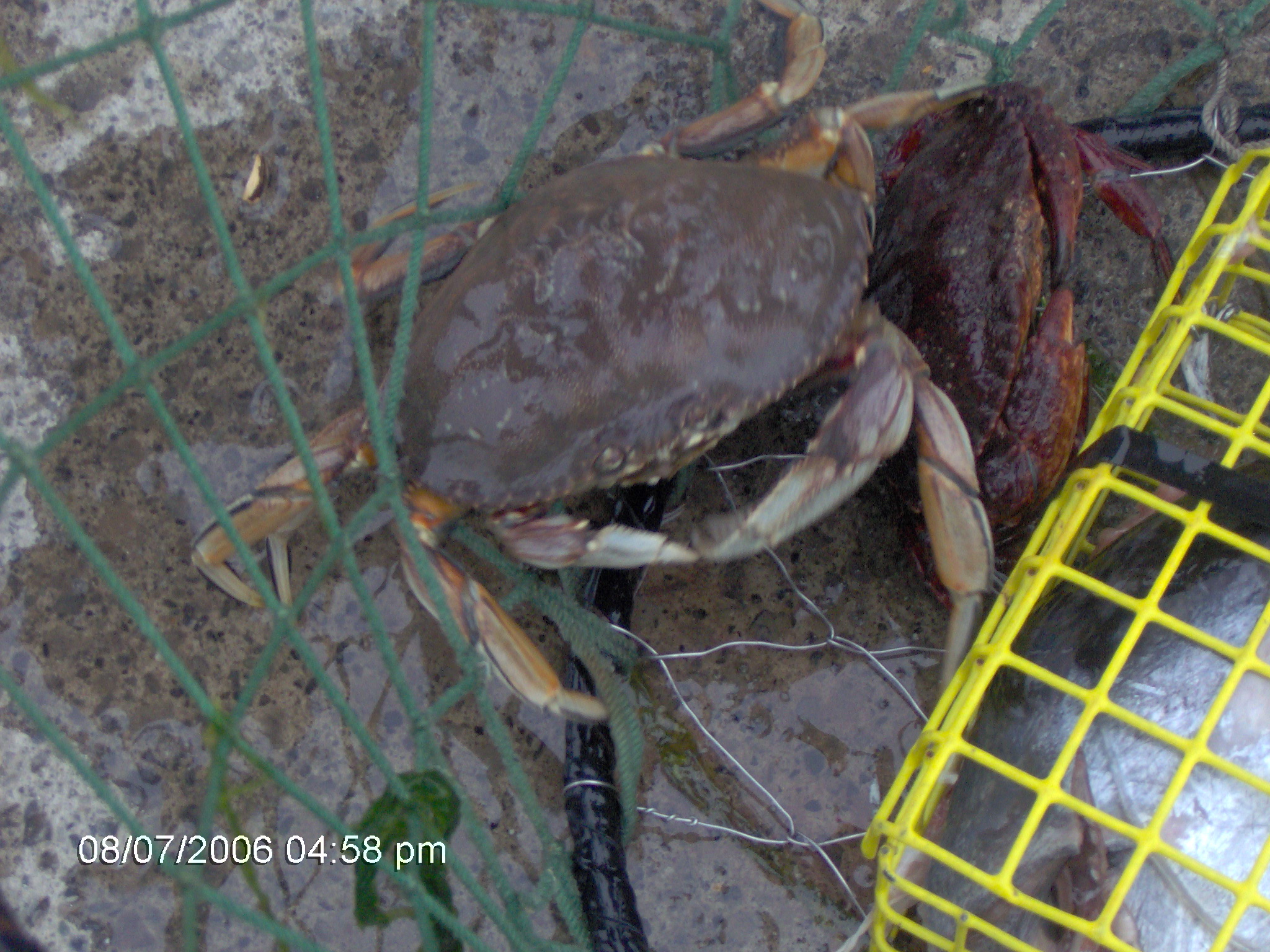
Usually. Unfortunately this year is unusual due to the drought. All of the Western US is starting to recover from the long hot summer. Here in Oregon the rains have begun and are predicted to stick with us. We welcome them. However, our gentle bears are trying to store up for the coming winter hibernation. Due to the drought their normal food supply of nuts, grass, insects and berries – they love Oregon blackberries – is not there in the usual quantities.

Due to the low food supply, black bears are coming out of the forest looking for food and finding garbage cans. This is not good. Bears can become habituated to an easy food supply if they find one but this year is different. They are just hungry. You can help by keeping trash and garbage cans locked up tight in bear-proof containers or put away where a bear cannot get to them.

We love our bears in Oregon and enjoy watching them cross the road or meander up rural driveways on their way back home to the forest on the rare occasion that those sightings happen. We want them to survive. If you live in Oregon, please assist the bears to pass on by.
BlackBearMamaCubFallLeaves

Cape Meares Lighthouse

The Oregon North Coast has one of the most scenic drives anywhere. For nearly 40 miles between Tillamook and Pacific City, the road wends its way in and out and around the 3 Capes Loop. Cape Kiwanda, Cape Lookout and Cape Meares are said to be the sister capes. Heading west out of Tillamook, the road takes you to Cape Meares Loop and meanders, and I really mean meanders, all over the 3 capes. One can take the route either from the north (Cape Meares) or from the south (Cape Lookout). We like to travel from the north and end up in Pacific City at the Pelican Pub & Brewery which is right on the water on Cape Kiwanda.

One Christmas Day we were driving up the coast and traveling the 3 Capes Loop. We were very hungry and came upon the Pelican. We were surprised they were open. They were not only open but they were serving the most wonderful holiday buffet with traditional turkey, dressing and all the trimmings. What a treat!

Whatever time of year you arrive on the 3 Capes, don’t miss the Pelican.

PelicanBrewery

The Pelican is about our last stop on this beautiful drive. Almost the first is the Cape Meares Lighthouse. Not only is the lighthouse in this beautiful coastal place but the area is also a wildlife refuge. There is a parking lot to park in and then a short walk through Oregon’s trees to the top of the light.

CMLH-ParkEntrance

Near the park entrance is the trailhead to the Big Spruce which is Oregon’s largest Sitka Spruce. There is a lot to see and do here. Check it out before you go. http://www.capemeareslighthouse.org

As with all lighthouses, this one has a rich history. It is named after Captain John Meares who was the first to sail into Tillamook Bay. The lighthouse was built in 1889 with bricks made on site and covered with iron plates. At 38 feet it is the shortest lighthouse in Oregon.

The original light consisted of a 5 wick oil lamp with a reflector. It was turned by a 200 pound lead weight wound with a mechanism similar to a grandfather clock. The lens is a Fresnel lens made in Paris and was shipped around Cape Horn before coming up the west coast to Cape Meares. It was then taken 217 feet up the cliff by a wooden crane built from native timbers.

As with all lighthouses this one has a signature flash consisting of  30 seconds of fixed white light from its primary lens followed by 5 seconds of red flash from the bull’s-eye lens once a minute. The light can be seen 21 miles out to sea.

CMLH-Night

The oil lamp has been replaced a couple of times eventually becoming the automated light it is today. The lighthouse was decommissioned in 1963 and was heavily vandalized during the several years it was vacant. Oregon Parks and Recreation Department took it over and reopened the lighthouse for tours.

There is much more history especially having to do with the theft of the four bull’s-eyes and their piecemeal return nearly 20 years later starting with a drug raid in Portland. But…..it’s time to get to the ghost story that every lighthouse has. Cape Meares Lighthouse doesn’t seem to have a resident ghost but there is ghostly history all around it.

The Octopus Tree that resides in the park was utilized by Native Americans in the area as a burial place. They caused the odd shaped tree much in the same way a Bonsai is created and would place the deceased in their canoes and put them in the candelabra shaped tree. Natives have lived here for 3,000 years and it is estimated this tree is over 2,000 years old.

OctpusTree

Bayocean is one of Oregon’s most famous ghost towns and sits just below Cape Meares. It is hidden and unknown to most tourists. Built in 1912 this small hamlet on the coast is described as having been a “glittering resort town.” It lasted only 10 years as such and then died with a more complete death coming during the Great Depression. As tidal conditions changed most of this former coast resort town was later destroyed.
Bayocean

Who knows what ghosts may be lurking about Cape Meares Lighthouse with this rich, ghostly history?! Come visit us www.umpquahaven.com and travel north along the beautiful Oregon Coast to find out!

CMLHFromEntrance


Dancin’ On The Oregon Coast

Social dancing has existed since homo sapiens could wiggle and possibly before as critters also do various kinds of what could be termed dancing. Every country of the world has celebrated harvests, weddings, feasts and gatherings of all kinds with dances specific to their country, region or village. Today those dances, some of them very ancient, are being preserved through active folk dance groups across the planet.

Most countries have folk dance groups specific to their country with original music and costuming. Some groups are professional and some are recreational but often with a performance aspect. Many folk dance groups are eclectic in their repertoire and do dances from many different countries. These groups are categorized as “International Dance” to distinguish them from any specific area. They learn, dance and often perform in costume dances such as Tzadik Katamar from Israel, Hora Mare Bucovineana from Romania, Hoy Memo from Turkey, Tai Tai from Greece and 12th Street Rag from the USA.

Here in Oregon there are hot spots of International Dancing from Portland along the I-5 Corridor to Eugene, Creswell and Ashland. On the coast we have some of the best International Dance going starting in Florence with the Oregon Coast International Dancers.

RhodyDaysDancin

OCID is a very active and growing group of dancers that meets every Wednesday evening at Lane Community College in Florence. They occasionally perform dressed in village style Balkan colors of black, white and red in authentic, imitation costuming.

We occasionally “dance out” with other folk dance groups traveling to their location. One of the places we visit is Green Acres Grange a bit south and east of Coos Bay where we dance with the Coos Bay Folk Dancers under the direction of Stacy Rose. In this photo the Port Orford Folk Dancers lead by Vickie Isaeff came for this dance evening also. CoosBay-PortOrford

Late December, 2015, we had a New Year’s dance with dancers from Coos Bay, Eugene, Florence and Creswell. Our dance friend, Sally Jenkins, can be seen in the center in white blouse leading a dance. Sally is from Creswell’s Movable Feet dance group. Stacy, Sally and I took turns leading and teaching dances. We tend to stay home on NYs Eve but this is a fun way to celebrate the coming New Year a bit early as you dance the night away. NYsDance-2015

The very talented Stacy Rose also plays flute and penny whistle and joins with various other musicians to accompany folk and contra dances. Here she is lending her talents to those of Sharon Rogers on accordion with Eva Moravcik’s very lovely voice singing in various languages during our NYs dance night. NYs2015-StacySharonGail

During the 2014 holiday season we were asked to provide a participation folk dance program for the family of one of our dancers. It was a big success for the family and fun for OCID to join them. Folk dancing at celebrations in the villages is traditionally a family affair. Young ones learn from a very early age how to do the steps and dances as they follow their family adult dancers from behind the line. By the time they are teenagers they have become expert at the dancing. FamiliesDance

In March of 2015, we held another dance event in Florence with OCID and the Country Western Line Dancers under the direction of Pat Wheeler. They are the ones in the pretty blue/green tops. They learned many folk dances and OCID learned several CW line dances. The teaching was shared by Pat, Sally Jenkins from Creswell and myself. A good time was had by all.

Creswell

LineDancers

Occasionally OCID will dance on the boardwalk in Old Town Florence. The music and dancing always brings residents and visitors to watch, ask questions and often they will join in the dancing and this fella did. Look at everyone smiling! It’s always a happy, fun time dancing with OCID! PeopleJoinIn-Boardwalk

Many other styles of dance live here on the Oregon Coast including Middle Eastern, Big Band, ballroom, Flamenco, ballet, jazz, tap and more. However, International Dance is easy, fun, great exercise and doesn’t require a partner. Come stay with us at Umpqua River Haven (www.umpquahaven.com) and take part in this multi-flavored dancing. Florence is just 36 miles from the park. The Oregon Coast International Dancers would love to have you join in! OCID-OnTheBoardwalk

Oregon’s Historic Covered Bridges

Madison County, Iowa’s bridges pale in comparison with Oregon’s. Starting in the 1850’s, Oregon pioneers began building wooden bridges to more easily traverse rivers, streams and creeks. Built mostly from native Douglas Fir, they added “houses” over the bridges to protect them from the damp Oregon climate and extend their life span. Most of these covered bridges were built between 1905 and 1925 when there were 600 of them.

Today Oregon has the largest number of covered bridges in the West and one of the largest nationally. The modern spotlight is on bridges designed and built for motorized traffic. There are 51 working covered bridges in Oregon today.

One December day we spent a family day out visiting every covered bridge we could find and some we stumbled on East and a bit South of Eugene. Here are several we toured. When I took these shots it was to get the names/dates of the bridges in but some of them are not legible. I have provided information about the ones I could ID.

Parvin Bridge, 1921, near Dexter, OR, spans the Lost Creek.
ParvinBridge1921

Pengra Bridge, 1938 near Jasper, OR, spans Fall Creek.
PengraBridge-1938

Oregon is very proud of her historic covered bridges. They are beautiful as well as functional because they are well maintained.
2A
34

Wild Cat Bridge, 1925 near Walton, OR, spans Wildcat Creek
5

Lowell Covered Bridge, 1945, near Lowell, OR spans Middle Fork Willamette River. This is one of the prettiest bridges anywhere.  It is not a working bridge.

6

7

2-1923

Office Bridge, also known as Westfir Covered Bridge, 1944, near Westfir, OR. Most of Oregon’s covered bridges are white but this one was an unexpected exception. You can walk and drive through it but it is mostly an attraction as the road only goes to a park/picnic area.
Office-Westfir-1944

Come stay with us at www.umpquahaven.com and spend a day exploring some of Oregon’s historic covered bridges that are not far away!

Traveling Oregon

Fall in Oregon normally brings frequent, intermittent rains. Up to now there has only been one day of real rain here. As I traveled the last leg of the cross-country trek a few days ago, the weather was, had been and continued to be anything but rainy. Sunny, warm and dry. Perfect for traveling. Travel started in the Eastern Oregon desert country on a clear, sunny day.

Oregon-EastDesert

There is some irrigation in the desert area. On the hillsides the pine trees pop out. Fall colors are also evident.

Oregon-PinesOnTheDesert

Mostly it’s desert, pine and mountains though.

Oregon-DesertPinesMts

Further along are both irrigated crops and cattle.

Oregon-Crops&Cattle

But the desert two lane is long between Burns and Bend.

Oregon-LongDesertRoad

Nearing Bend the scenery becomes more spectacular and less arid.

Oregon-NearingBend

Reaching Bend we are treated to some luscious fall colors against the bright blue skies.

Oregon-FallColorsBend

Oregon-MoreBendFallColors

Leaving Bend and traveling north-east heading toward Sisters, Oregon, we come upon the actual sisters.

Oregon-SistersPastBend

Passing Sisters we now enter the forest. Look at that beautiful sky!

Oregon-IntoTheForest

Eventually we turn off again and enter the McKenzie River Valley where the fall colors are just starting to turn. They were not at the height of their color but still very much indicative of its being fall.

Oregon-FallColorsMakenzieRiverValley

I could not have asked for a better day to travel through Oregon. Because there had been a day of serious rain, trees and foliage were perked up and greening again. The river valleys can be magnificent during this time of year but weren’t quite in their prime. However, after passing through Eugene and up over the mountain toward home the Siuslaw River Valley, too, displayed flowing walls of fall coloring amid the Douglas Fir.

Oregon-SiuslawRiverValleFallColors

Reaching home, sweet home we are mostly surrounded by Doug Fir but have one very pretty maple in the park that bursts with fall colors.

Oregon-MapleURH

And soon the blueberry bushes will start to turn all sparkly orangey-pink.

Oregon-URHFallBlueberries

But….come stay with us at http://www.umpquariverhaven.com and see for yourself all the bright, fun fall colors we have to offer.

Oregon-URHHomeSweetHome

Across Idaho

Today’s travels expanded across the State of Idaho. The first landmark I came to was Massacre Rocks. It is now a state park but when the pioneers were traversing the Oregon and California Trail, this was a place that made them nervous. They felt vulnerable to attack from Native Americans at this camping site along the trail. There never were any attacks at this exact spot but there were a very few not far from here. These sheer cliffs stand above the Snake River.

ID-MassacreRock

The scenery behind the photographer of the rocks is as spectacular as any of Wyoming’s.

ID-Scenery-1

Off the other direction is evidence of this modern era. Idaho has fields harnessing the wind the same as Wyoming does. Driving today and yesterday was a bit more physical than it sometimes is due to the winds. It takes a firm grip to maintain a vehicle on a windy highway.

ID-Windmill

Leaving the park, the Interstate Highway follows the path of the Snake River for a short distance.

ID-SnakeRiver-2

Idaho is very much like Wyoming in appearance traveling I 80.  Not the dramatic rock formations but the prairie and sage with the mountains on the horizon. 

ID-PrairieSageMountains

Fall is in the air in Idaho, too. The geese were flocking and flying above the landscape. The hay has been harvested and bails left in the again green-growing fields until they are picked up for winter feed.

ID-HarvestingHay

A friend once told me a story about asking some farmers” who eats all this corn?” I laughed knowing full well ‘who’ eats field corn. When the corn turns all tawny in color it is a sure sign that fall has arrived and the cattle feed corn is ready to harvest.

ID-FallFeedCorn

Leaving Idaho, I traveled 100 miles into Oregon through beautiful desert mountains along a river’s path. The road wound and wound and wound and curved and curved and curved. It’s a little slower going but there was little to no traffic to contend with. Coming out of this area there are, again, shades of Wyoming countryside in Oregon. It was a pleasant day’s drive.

OregonSceneryLikeWyoming

Across Wyoming

Today was a pure Wyoming day as I traveled across the entire state into Idaho on the return trek to Oregon. Leaving Cheyenne and traveling west to Laramie the first major highway landmark is the bust of Abraham Lincoln. Lincoln was taken this summer to Lander to the foundry there for cleaning and restoration and then returned to his post at the top of Stage Hill before the steep descent into Laramie. He is all clean and shinny in the sun.

WY-LincolnStageHill

I found McBreakfast in Laramie and then headed back to I 80. Just before getting on the 4 lane was a major Wyoming Historic Site—-the Territorial Prison. It is now a museum and one of these days I need to stop in and take the tour.

WY-TerrirorialPrison

I 80 was built so that tourists could see Medicine Bow Peak as they drove along. In the good weather, if you are in the know, you see the many layers of wooden snow fence that goes on for mile after mile after mile. Known locally as Rattlesnake Ridge, this lengthy stretch is prone to high winds and drifting snow.and is often closed in the winter. It is treacherous travel and even today with the sun shinning and the countryside dry and clear, there were high wind warnings out with gusts up to 35 MPH and probably higher. Signs tell you that high winds are ‘possible’ which is Wyoming-speak for HANG ON TO YOUR B _ _ _ ! I was definitely hanging onto the steering wheel And at the same time I was enjoying the beautiful Wyoming scenery.

WY-Rock

It is nearly impossible to catch the vastness of the open Wyoming prairie and the beauty at every turn of the highway but I tried.

WY-Scenery1

Just past Green River a ways you will come across these signs among many similar ones.

WY-LA-RelaxSign

WY-LA-StretchOutSign

WY-LA-StayTonightSign

WY-LA-SweetSign

These signs tell you that you are coming to Little America. This is the site of the original Little America built in 1952. It was a small, welcome oasis along a lonely stretch of Highway 30, the first highway across America. It has expanded greatly in this location and there are 3 additional Little America’s. I usually stay at the one in Cheyenne when I’m there.

WY-LA

After stopping for gas and coffee at Little America I hopped back on I 80 for a few miles before turning off to head to Pocatello up through a natural valley with scenery like this along the road.

WY-OnTheRoad

WY-RoadAgain

Along the way evidence of fall coming to Wyoming is visible.

WY-FallColors

One additional sure sign of fall in Wyoming is the sighting of a combine as they only come out during fall harvest time.

WY-Combine

Almost to Idaho is the last landmark in Wyoming. It was a most pleasant day of driving through one of my favorite places, Wyoming.

Fossil Butte National Monument.

WY-FossilButte

Let’s Go Fishin’ – 7

Actually let’s go crabbin’. Not only are Dungeness red crab delicious to eat but here on the Oregon Coast they are great family fun to fish for. I ended up buying our very own family crab trap for this adventure. We packed up 7 of us in the SUV and off down the coast road to Charleston we drove.

Charleston, Oregon is a small, very small, fishing port with a large Coast Guard presence. There are a few shops and a couple are very nice. There is a motel (Captain John’s) http://www.captjohnsmotel.com and 3 or 4 restaurants with the Portside (http://www.theportsiderestaurant.com) being the nicest for a fine dining experience. We also like the High Tide Café (we favor their clam chowder) http://hightidecafeoregon.com. Both have waterside dining available. So if you get hungry there are places to eat.

You can’t miss the fishing fleet or Coast Guard boats as that is where the best crabbing is. We stop at one of the fish markets for bait which is usually a turkey leg though you can also obtain fish heads.

IM000980.JPG

Before you go crabbing for Dungeness be certain to educate yourself a little bit about them. You need a license, are only allowed to harvest male crabs in a limited number each day and they have to be at least 5 & ¾ inches. You will want to purchase the special measuring device designed to measure Dungeness.

IM000001.JPG

To determine gender and to measure properly, turn crabs over onto their backs. Dungeness become docile and appear to sleep when on their backs and are easy to handle. You’ll want to know what the markings are for each gender. Licenses, supplies and information can all be obtained from any of the fish shops.

IM001002.JPG

There are tricks to placing the bait in the trap so that the crabs are not able to just grab and run. One family member got very good at it.

IM000966.JPG

Once the bait is set and the trap closed you gently toss it into the water from the dock and let it sink to the bottom. And then comes the tricky part which is knowing when to pull the trap up retaining the most Dungeness.  Aug06-LeCrab-2

This is something you can learn by trial and error or, as in our case, a seasoned crabber gave us some tips. The big crabs will come into the trap first and take what they want and depart quickly leaving the small ones behind.

IM000972.JPG

Our mistake was leaving the trap down too long and our crabber buddy advised us to pull up after just 3 minutes. It worked! We caught a mess of yummy Dungeness crabs!

IM000003.JPG

Crabbing is a bit of work as pulling those traps up numerous times can be tiring and make muscles sore. Since we had a crew, we took turns pulling it up so no one would be sore at the end of the day. There are places on the docks you can take your crabs and they will cook and crack them for you. We’ve done it at home ourselves but, again, it is a lot of work. There are special tools that are helpful but now we usually just spend a few bucks as it is economical and let the experts at the docks do it. We can then go back to Umpqua River Haven worn out but happy with our catch ready to eat when we get home.

Visit www.umpquahaven.com and stop in for a stay. All that great crabbing at Charleston is only about 45 minutes away! You can also crab in Windy Bay which is 20 to 30 minutes down the road.

It was a very crabby day but in a good way!

IM000965.JPG


Southern Oregon Coast Scenic Drive

I try annually to visit family in Northern California and when I am able to do that, the return trip is up the coast from Arcata, CA back to Scottsburg and Umpqua River Haven (www.umpquahaven.com).  The Southern Oregon Coast holds many scenic turnouts that are all part of the Samuel H. Boardman State Scenic Corridor.

This 12 mile, scenic corridor was named after the first Oregon Parks Supervisor, Samuel H. Boardman. He and his contemporaries had the good sense to see the need to preserve this unique and beautiful stretch of the Oregon Coast. There are also 27 miles of Oregon Coast Trail that meanders through the park including beach, dunes and 300-year-old Sitka spruce trees.

I’m never in a hurry and allow myself plenty of time. I often set out just to drive and not stop but I know I will. There are just too many beautiful turnouts along this route. The scenic sites start a short ways north of Brookings, Oregon. There are 14 scenic places to visit. Some you can see from the turnouts and some are a short hike to the view point. They include places like Whaleshead Beach where you can watch for water spouts from Whaleshead Rock off shore. Oregon’s tallest bridge is also along this route, the Thomas Creek Bridge, which is 345 feet up in the air. The bridge is part of the scenic Highway 101. Another turn off is Arch Rock which is a favorite stop. It is the northern most scenic turnout. You can get out and walk around without really hiking. There are three sides to this park area with awesome ocean sights on all three sides.

I will leave you here to explore some of my favorite shots along this scenic route. Do come stay with us and travel it for yourself.

IMG_0283

IMG_0263

IMG_0272

IMG_0239

Arch Rock

IMG_0256

North Side at Arch Rock Scenic Overlook

IMG_0279